


Marion Voting District, Phillips County, Arkansas
About
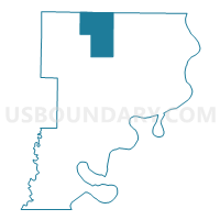
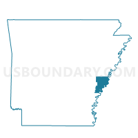
Outline

Summary
| Unique Area Identifier | 527556 |
| Name | Marion Voting District |
| County | Phillips County |
| State | Arkansas |
| Area (square miles) | 40.87 |
| Land Area (square miles) | 40.85 |
| Water Area (square miles) | 0.02 |
| % of Land Area | 99.95 |
| % of Water Area | 0.05 |
| Latitude of the Internal Point | 34.59748820 |
| Longtitude of the Internal Point | -90.87025560 |
Maps

Graphs
Select a template below for downloading or customizing gragh for Marion Voting District, Phillips County, Arkansas


Neighbors
Neighoring Voting District (by Name) Neighboring Voting District on the Map
- Big Creek Voting District, Lee County, AR
- Hickory Ridge Voting District, Phillips County, AR
- Richland Voting District, Lee County, AR
- Spring Creek Voting District, Lee County, AR
- Spring Creek 1 Voting District, Phillips County, AR
- Spring Creek 4 Voting District, Phillips County, AR
- Upper Big Creek 1 Voting District, Phillips County, AR
- Upper Big Creek 2 Voting District, Phillips County, AR
Top 10 Neighboring County Subdivision (by Population) Neighboring County Subdivision on the Map
- Spring Creek township, Phillips County, AR (1,789)
- Hickory Ridge township, Phillips County, AR (1,550)
- Richland township, Lee County, AR (656)
- Marion township, Phillips County, AR (589)
- Spring Creek township, Lee County, AR (496)
- Big Creek township, Phillips County, AR (425)
- Big Creek township, Lee County, AR (80)
Top 10 Neighboring Unified School District (by Population) Neighboring Unified School District on the Map
- Lee County School District, AR (10,424)
- Barton-Lexa School District, AR (3,234)
- Marvell School District, AR (3,087)
Top 10 Neighboring State Legislative District Lower Chamber (by Population) Neighboring State Legislative District Lower Chamber on the Map
- State House District 52, AR (24,057)
- State House District 51, AR (23,525)
- State House District 13, AR (21,757)
Top 10 Neighboring State Legislative District Upper Chamber (by Population) Neighboring State Legislative District Upper Chamber on the Map
- State Senate District 17, AR (71,695)
- State Senate District 16, AR (68,732)
- State Senate District 5, AR (63,334)